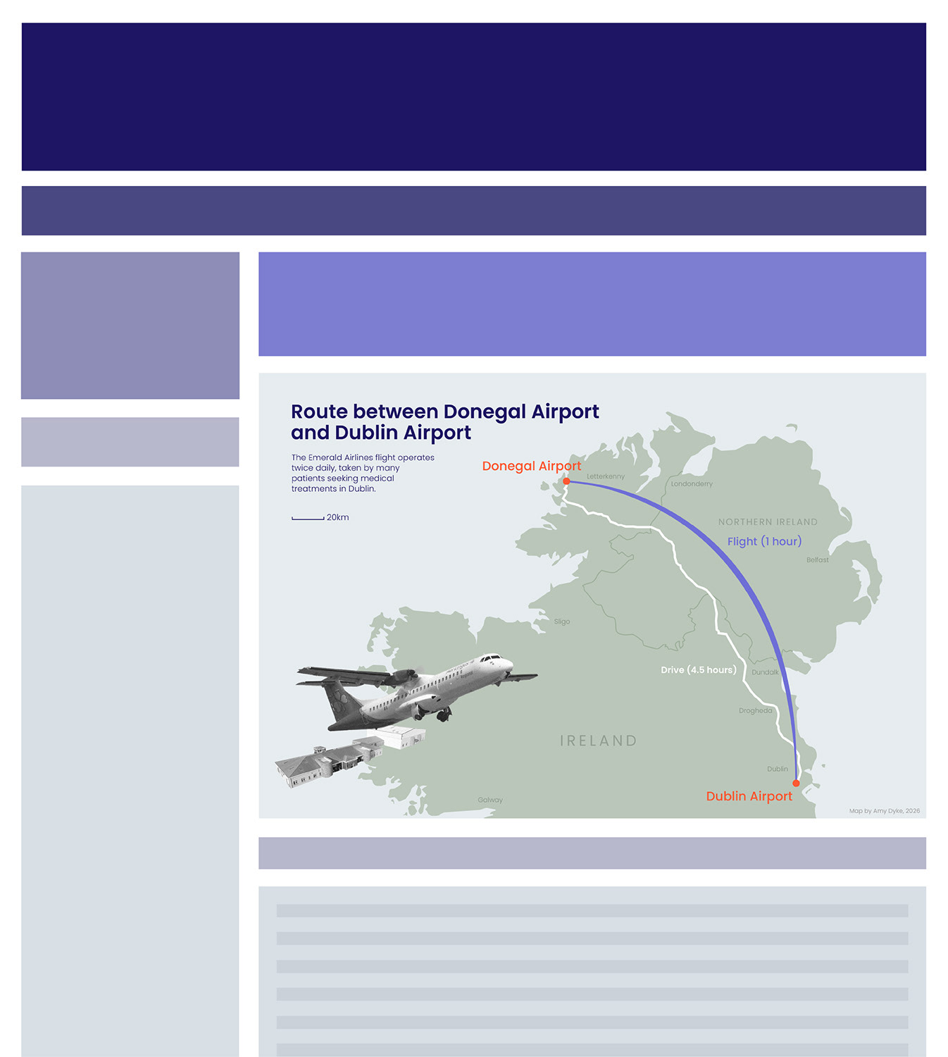
Mapping for Journalism
This map was created under a one-hour time limit from conception to creation to replicate the rapid pace of news departments. Using Natural Earth data for a custom basemap and Adobe Illustrator & Photoshop for supporting graphics, the key findings of a news story were illustrated to support and enhance the telling of the bigger story. A page layout was drafted after the fact for the entirety of the mock-up.
Key Skills
- Produced a professional, cartographic work under significant constraints including time, theme, and specs, mimicking projects and workflows in journalism & publication spaces.
- Crafted a map that is graphic in style while maintaining geospatial accuracy, prioritizing honesty and integrity.
- Interpreted journalistic narratives for mapping only the most relevant information, focusing on enhancing a story and increasing viewer understanding.
Software
- ArcGIS Pro
- Adobe Illustrator
- Adobe Photoshop