Coordinate Systems
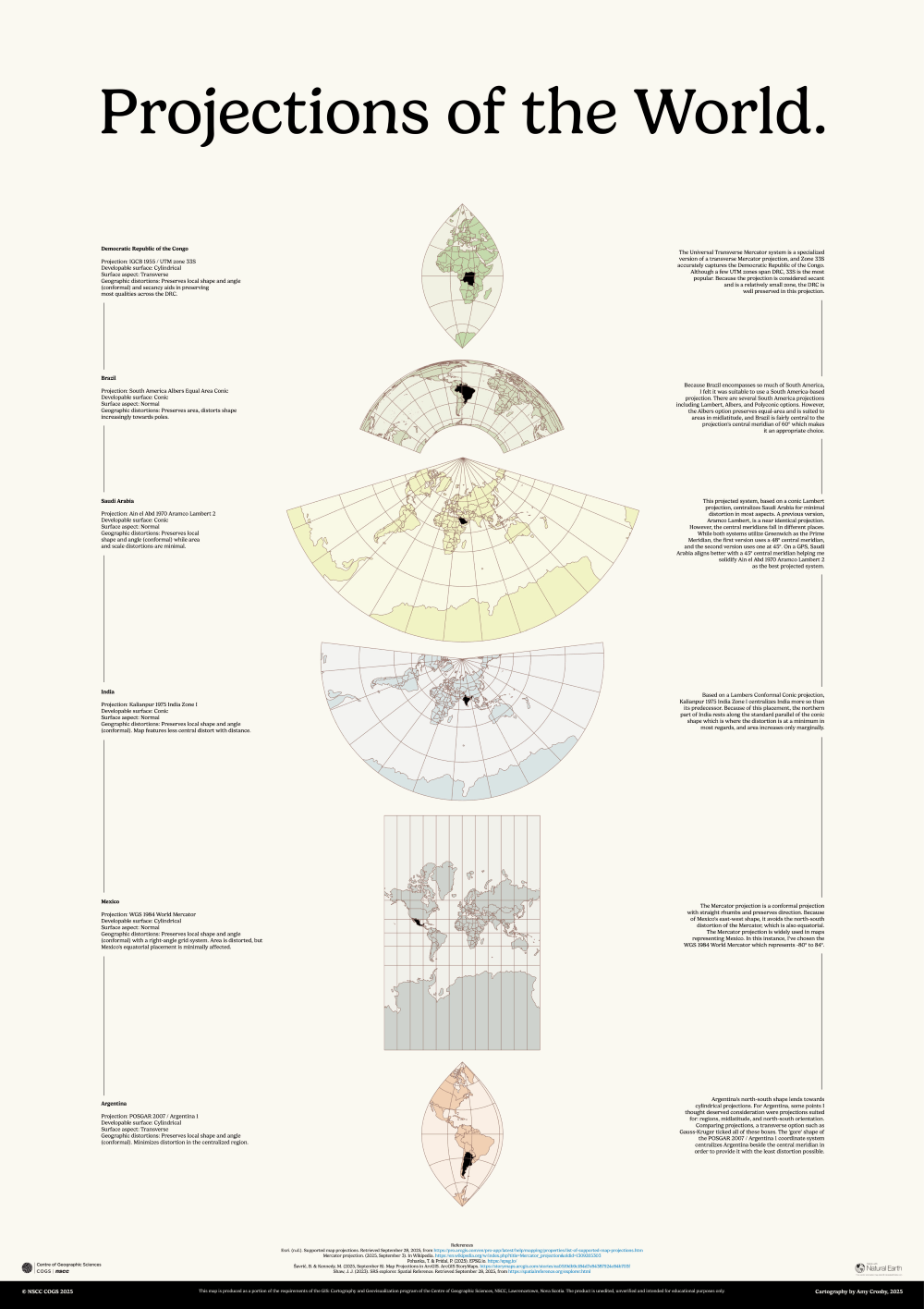
A GIS professional or cartographer needs a strong understanding of foundational geography, coordinate reference systems, and map projections. This poster artistically demonstrates a few of the projected coordinate systems (PCS) for global map displays, highlighting their advantages to specific countries and describing the details involved in the transformation processes.
Key Skills
- Researched common coordinate system transformations for various countries based on real-world use cases to eliminate as much distortion as possible.
- Transformed data both on-the-fly and with geoprocessing tools to project map views for individual locations, preparing GIS data for accurate display and analysis.
- Described geographic understanding and GIS workflows, contributing to a strong demonstration of foundational knowledge in concepts that are critical for industry and workplace success.
Software
- ArcGIS Pro